By the brittanytravel.com team · Updated 13 October 2026 · Hiking
The GR34, or Sentier des Douaniers, follows almost the entire coastline of Brittany, from Mont-Saint-Michel to the Loire estuary, for around 2,000 km. It was originally the path of customs officers who patrolled the coast against smugglers, and today it's one of France's most popular long-distance trails.
Best sections
- Saint-Malo to Cancale: walled city, beaches and the Pointe du Grouin.
- Cap Fréhel to Fort La Latte: cliffs and heather, an hour each way.
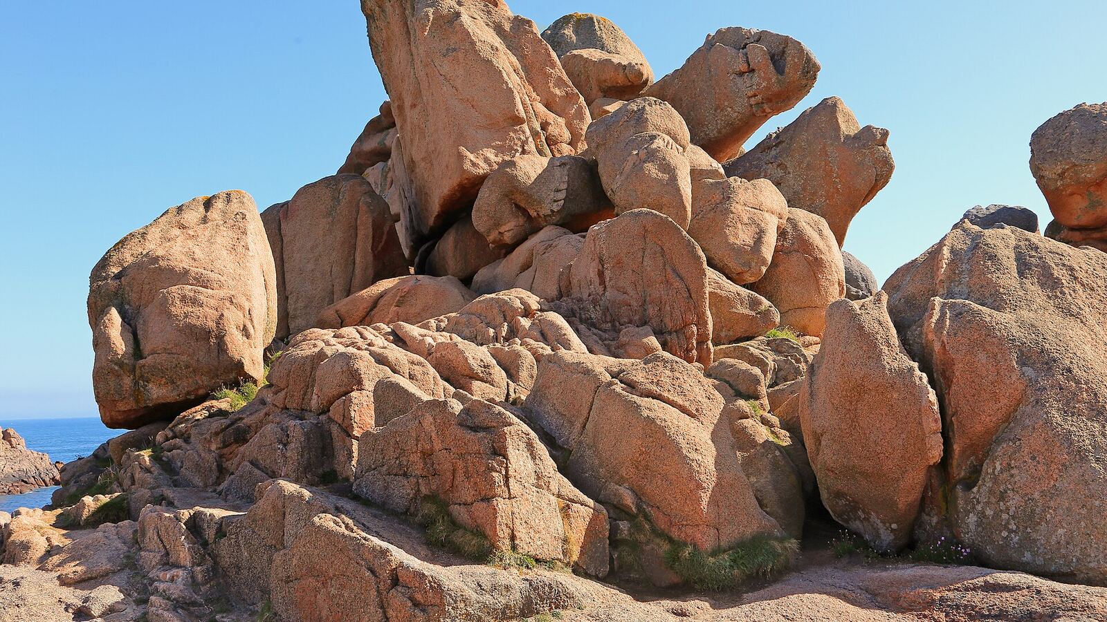
- Perros-Guirec to Trégastel: the famous pink granite section.
- Crozon Peninsula: Pen-Hir, Camaret and Cap de la Chèvre.
- Pointe du Raz to Pointe du Van: wild headlands at the end of France.
- Quiberon's Côte Sauvage: arches and coves.
- Belle-Île: about 80 km around the island on a separate coastal path.
Practical tips
- The trail is marked with white-and-red stripes.
- Tidal estuaries sometimes force detours; check crossings at low tide.
- Several companies offer self-guided trips with luggage transfers between hotels.
- Bring layers and waterproofs: weather changes fast on the cliffs.
- Guided walks are a good option for remote stretches.
Plan your Brittany trip
Hotels, tours and transport in one place.
Header photo: Photo: W. Bulach, CC BY-SA 4.0
Some links on this page are affiliate links. If you book through them we may earn a small commission at no extra cost to you. Learn more.